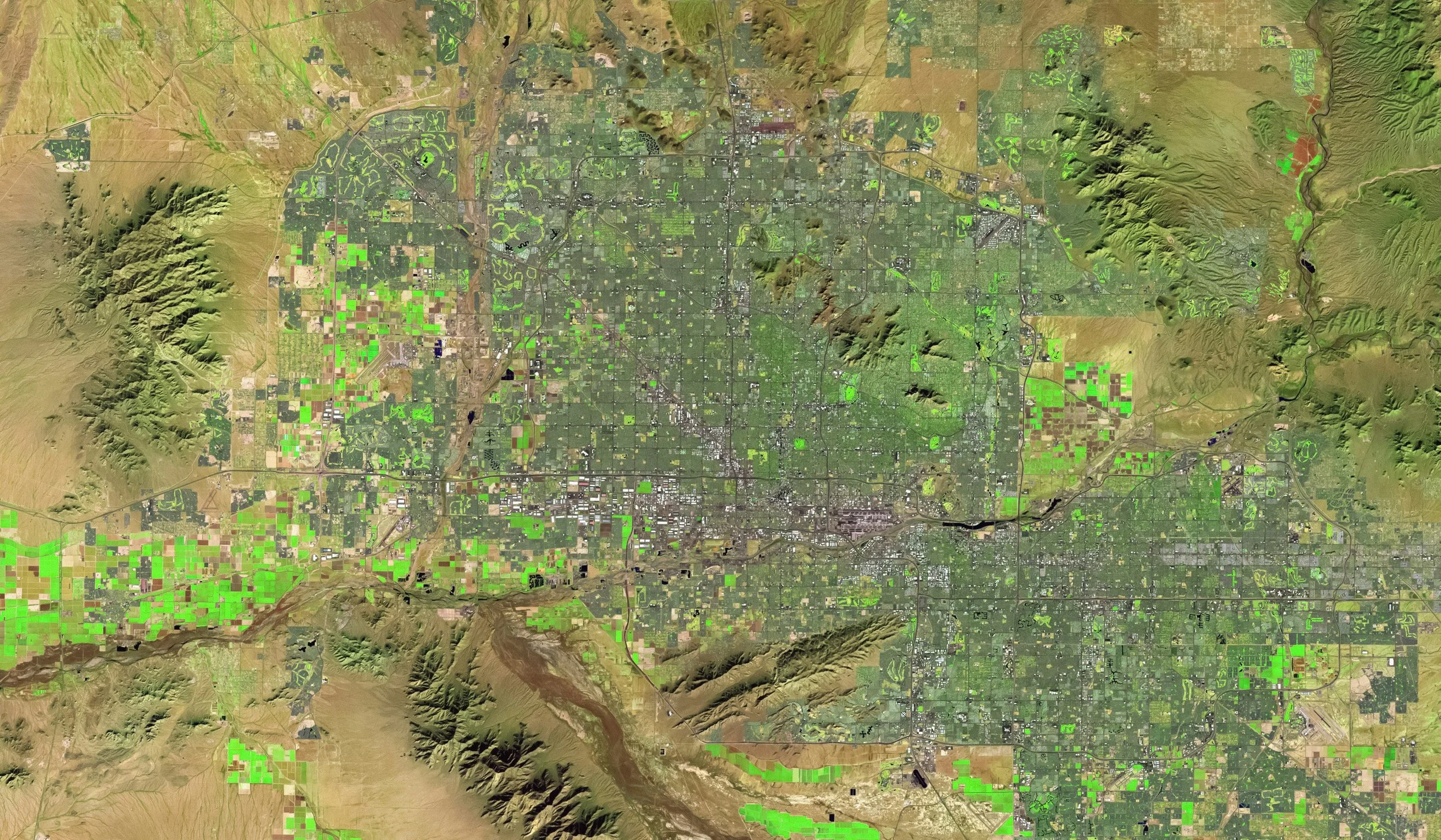
Geospatial Solutions
We help you operationalize geospatial data, drive smarter infrastructure decisions, and navigate increasingly complex environments.
Our geospatial and analytics capabilities translate into real-world advantages for you.
We were honored to attend two preeminent geospatial events this Spring!
At FedGeoDay, we presented on ‘New Construction Activity Detection and Classification via Satellite Imagery and Machine Learning’.
At 2026 Geospatial World Forum, we presented on ‘Using Facade-View Imagery and Deep Learning to Predict Likelihood of Demolition”.


Built for Possibility
Hear from Vice President of Engineering and Geospatial Hector Ferronato as he explores Reveal’s expertise in geospatial analytics in informing strategic decisions and policy-making using spatial data, visualization, and AI-driven insights.
Our Geospatial Expertise in Action

Capability Statement: Geospatial Analysis

White Paper: New Construction Activity Detection and Classification via Satellite Imagery and Machine Learning
Reveal Perspective: Creating Geospatial Data
Blog Post: Satellite Data Product Launched

Blog Post: Reveal Team to Present
AI-Driven Geospatial Innovation at GWF 2026